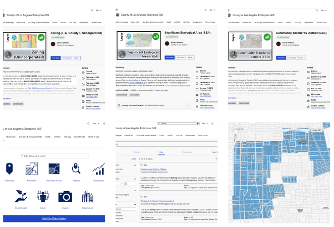
LA County Planning provides GIS data layers for free download through the LA County Enterprise GIS Hub. Sharing data helps the public and the GIS community. We update layers and add new layers as available.
The Enterprise GIS Hub is the place to search for and download GIS data that LA County creates, maintains, licenses, and stores. This includes data from the County Assessor, Public Works, and Parks and Recreation.
The County created the Enterprise GIS Hub to make high-quality geospatial information simple and easy to find. The GIS Hub also provides a place for feedback, questions, and discussion about particular data sets.
LA County will make as much GIS data as it can, available free for public use. When we are unable to do so, it is because of issues like licensing restrictions, privacy concerns, or outside ownership. We will provide information about the County’s data holdings. You might still have data access if you partner with the County.